Drainage channel, Temple Bar, Earsham
Introduction
The photograph on this page of Drainage channel, Temple Bar, Earsham by Glen Denny as part of the Geograph project.
The Geograph project started in 2005 with the aim of publishing, organising and preserving representative images for every square kilometre of Great Britain, Ireland and the Isle of Man.

There are currently over 7.5m images from over 14,400 individuals and you can help contribute to the project by visiting https://www.geograph.org.uk
Drainage channel, Temple Bar, Earsham
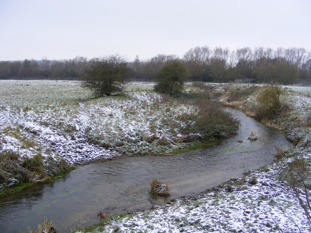
Image: © Glen Denny Taken: 28 Nov 2010
The line of trees and bushes in the background follow the course of the A143, which is built upon the former trackbed of the Waveney Valley Railway.
Images are licensed for reuse under creativecommons.org/licenses/by-sa/2.0
Image Location
Latitude
52.454783
Longitude
1.42535