The Holt Field
Introduction
The photograph on this page of The Holt Field by Simon Carey as part of the Geograph project.
The Geograph project started in 2005 with the aim of publishing, organising and preserving representative images for every square kilometre of Great Britain, Ireland and the Isle of Man.

There are currently over 7.5m images from over 14,400 individuals and you can help contribute to the project by visiting https://www.geograph.org.uk
The Holt Field
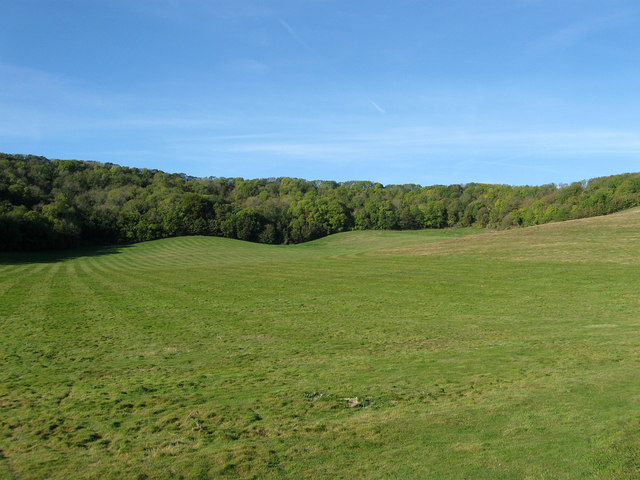
Image: © Simon Carey Taken: 20 Oct 2011
The name of the field according to Glynde's 1839 tithe map that has been expanded to include Image to the north. Viewed from Lacy's Hill with Glynde Holt the wood in view.
Images are licensed for reuse under creativecommons.org/licenses/by-sa/2.0
Image Location
Latitude
50.870138
Longitude
0.060188