Surrey National Golf Club
Introduction
The photograph on this page of Surrey National Golf Club by Derek Harper as part of the Geograph project.
The Geograph project started in 2005 with the aim of publishing, organising and preserving representative images for every square kilometre of Great Britain, Ireland and the Isle of Man.

There are currently over 7.5m images from over 14,400 individuals and you can help contribute to the project by visiting https://www.geograph.org.uk
Surrey National Golf Club
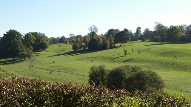
Image: © Derek Harper Taken: 15 Oct 2011
This course opened in 1999; this northern area occupies a dry valley in the North Downs. For those following bridleway 77, it is designed so that no fairway is crossed, an advantage not shared by most older courses.
Images are licensed for reuse under creativecommons.org/licenses/by-sa/2.0
Image Location
Latitude
51.285194
Longitude
-0.105714