Park, Caterham on the Hill
Introduction
The photograph on this page of Park, Caterham on the Hill by Derek Harper as part of the Geograph project.
The Geograph project started in 2005 with the aim of publishing, organising and preserving representative images for every square kilometre of Great Britain, Ireland and the Isle of Man.

There are currently over 7.5m images from over 14,400 individuals and you can help contribute to the project by visiting https://www.geograph.org.uk
Park, Caterham on the Hill
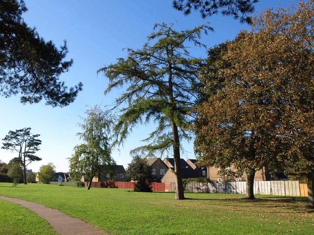
Image: © Derek Harper Taken: 15 Oct 2011
A belt of parkland between areas of housing at Hambledon Park, and connecting Coulsdon Road to Green Lane.
Images are licensed for reuse under creativecommons.org/licenses/by-sa/2.0
Image Location
Latitude
51.287816
Longitude
-0.101016