Westway Common
Introduction
The photograph on this page of Westway Common by Derek Harper as part of the Geograph project.
The Geograph project started in 2005 with the aim of publishing, organising and preserving representative images for every square kilometre of Great Britain, Ireland and the Isle of Man.

There are currently over 7.5m images from over 14,400 individuals and you can help contribute to the project by visiting https://www.geograph.org.uk
Westway Common
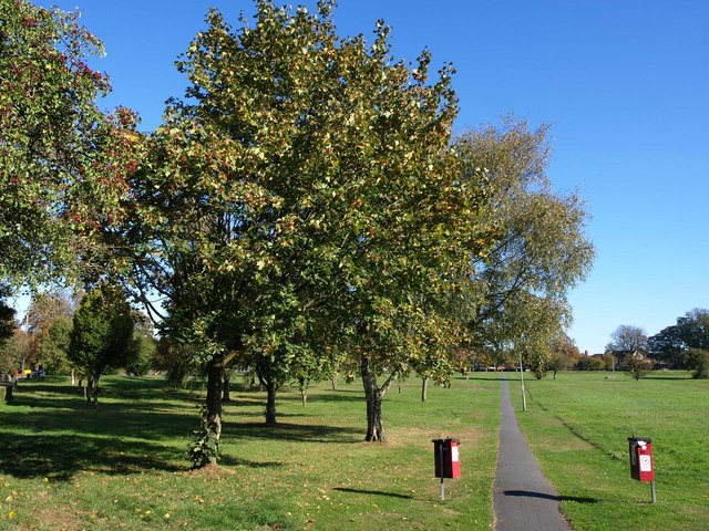
Image: © Derek Harper Taken: 15 Oct 2011
Looking in the other direction to Image, with the edge of Westway Court on the extreme left. This path is heading east towards Chaldon Road. Behind the camera is Clifton Close.
Images are licensed for reuse under creativecommons.org/licenses/by-sa/2.0
Image Location
Latitude
51.287011
Longitude
-0.095743