Towards the City of London
Introduction
The photograph on this page of Towards the City of London by Ian Capper as part of the Geograph project.
The Geograph project started in 2005 with the aim of publishing, organising and preserving representative images for every square kilometre of Great Britain, Ireland and the Isle of Man.

There are currently over 7.5m images from over 14,400 individuals and you can help contribute to the project by visiting https://www.geograph.org.uk
Towards the City of London
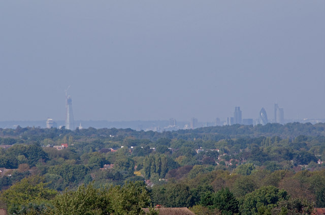
Image: © Ian Capper Taken: 14 Oct 2011
Looking from Chelsfield Green across houses in The Highway with the City of London across the skyline, with The Shard on the left and the City towers on the right.
Images are licensed for reuse under creativecommons.org/licenses/by-sa/2.0
Image Location
Latitude
51.360723
Longitude
0.113082