Cowhills farmhouse and steading
Introduction
The photograph on this page of Cowhills farmhouse and steading by Ken Fitlike as part of the Geograph project.
The Geograph project started in 2005 with the aim of publishing, organising and preserving representative images for every square kilometre of Great Britain, Ireland and the Isle of Man.

There are currently over 7.5m images from over 14,400 individuals and you can help contribute to the project by visiting https://www.geograph.org.uk
Cowhills farmhouse and steading
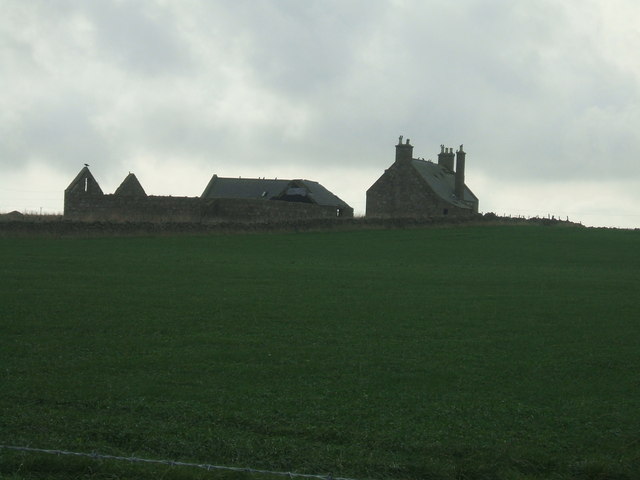
Image: © Ken Fitlike Taken: 23 Oct 2006
eerily abandoned unit after farmland absorbed into either neighbouring Newfield or Springhill farms
Images are licensed for reuse under creativecommons.org/licenses/by-sa/2.0
Image Location
Latitude
57.472646
Longitude
-1.828254