Drumlin, Listooder near Ballynahinch (1)
Introduction
The photograph on this page of Drumlin, Listooder near Ballynahinch (1) by Albert Bridge as part of the Geograph project.
The Geograph project started in 2005 with the aim of publishing, organising and preserving representative images for every square kilometre of Great Britain, Ireland and the Isle of Man.

There are currently over 7.5m images from over 14,400 individuals and you can help contribute to the project by visiting https://www.geograph.org.uk
Drumlin, Listooder near Ballynahinch (1)
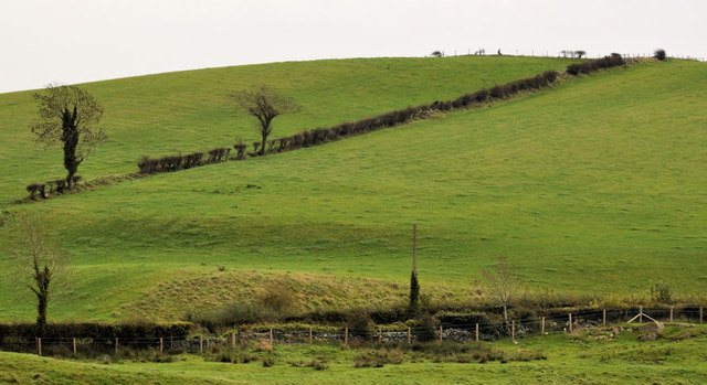
Image: © Albert Bridge Taken: 22 Oct 2011
An excellent example of a large and well-rounded mid-Down drumlin. This one is at Listooder, south east of Ballynahinch, between the Listooder Road and the Crossgar - Ballynahinch road (behind me).
Images are licensed for reuse under creativecommons.org/licenses/by-sa/2.0
Image Location
Latitude
54.404781
Longitude
-5.80856