Fordingbridge, St. Mary's
Introduction
The photograph on this page of Fordingbridge, St. Mary's by Mike Faherty as part of the Geograph project.
The Geograph project started in 2005 with the aim of publishing, organising and preserving representative images for every square kilometre of Great Britain, Ireland and the Isle of Man.

There are currently over 7.5m images from over 14,400 individuals and you can help contribute to the project by visiting https://www.geograph.org.uk
Fordingbridge, St. Mary's
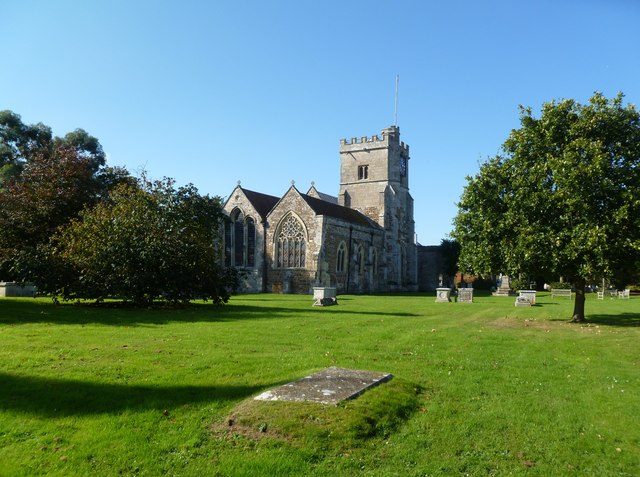
Image: © Mike Faherty Taken: 22 Oct 2011
Parish church on Church Street; C12, with C13 and later rebuilding; listed by English Heritage: http://www.imagesofengland.org.uk/Details/Default.aspx?id=143947&mode=adv
Images are licensed for reuse under creativecommons.org/licenses/by-sa/2.0
Image Location


Leaflet Map data © OpenStreetMap
Latitude
50.923656
Longitude
-1.794505