Taunton Deane Crematorium
Introduction
The photograph on this page of Taunton Deane Crematorium by David Hillas as part of the Geograph project.
The Geograph project started in 2005 with the aim of publishing, organising and preserving representative images for every square kilometre of Great Britain, Ireland and the Isle of Man.

There are currently over 7.5m images from over 14,400 individuals and you can help contribute to the project by visiting https://www.geograph.org.uk
Taunton Deane Crematorium
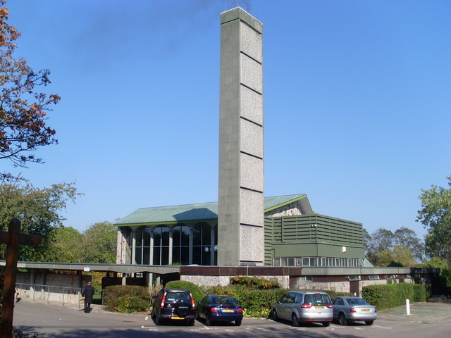
Image: © David Hillas Taken: 30 Sep 2011
Situated on the A38 (Wellington New Road) near Taunton town centre, this photo shows the chapel and tall chimney. A wooden cross can just be seen on the left of the photo. Its postcode is TA1 5NE.
Images are licensed for reuse under creativecommons.org/licenses/by-sa/2.0
Image Location
Latitude
51.009883
Longitude
-3.132856