Glebe Farm
Introduction
The photograph on this page of Glebe Farm by Alan Murray-Rust as part of the Geograph project.
The Geograph project started in 2005 with the aim of publishing, organising and preserving representative images for every square kilometre of Great Britain, Ireland and the Isle of Man.

There are currently over 7.5m images from over 14,400 individuals and you can help contribute to the project by visiting https://www.geograph.org.uk
Glebe Farm
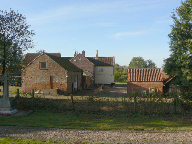
Image: © Alan Murray-Rust Taken: 20 Oct 2011
Adjacent to the parish church. The name only appears on recent editions of the OS maps, the house having previously been marked as 'Rectory'. The farm would doubtless have covered the glebe lands which would have supported the rector's living, even if he himself did not actively farm the land.
Images are licensed for reuse under creativecommons.org/licenses/by-sa/2.0
Image Location
Latitude
52.868818
Longitude
-1.062868