Benchmark in Colston Street
Introduction
The photograph on this page of Benchmark in Colston Street by Neil Owen as part of the Geograph project.
The Geograph project started in 2005 with the aim of publishing, organising and preserving representative images for every square kilometre of Great Britain, Ireland and the Isle of Man.

There are currently over 7.5m images from over 14,400 individuals and you can help contribute to the project by visiting https://www.geograph.org.uk
Benchmark in Colston Street
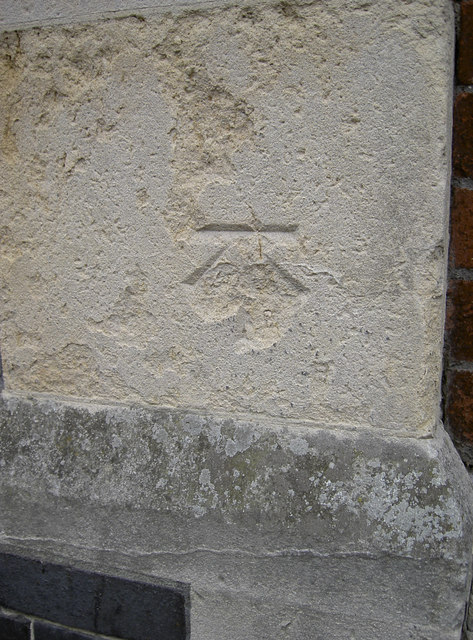
Image: © Neil Owen Taken: 21 Oct 2011
The remains of a cutmark in the crumbling stonework of Foster's almshouses. Completed in the later part of the nineteenth century, these buildings were additions to the original houses of the 1400's. See Image] for a better view of the western wing. Also see http://www.bench-marks.org.uk/bm39826 for the Benchmark Database.
Images are licensed for reuse under creativecommons.org/licenses/by-sa/2.0
Image Location
Latitude
51.455804
Longitude
-2.597519