The "Funny Farm" Bedmond
Introduction
The photograph on this page of The "Funny Farm" Bedmond by Jack Hill as part of the Geograph project.
The Geograph project started in 2005 with the aim of publishing, organising and preserving representative images for every square kilometre of Great Britain, Ireland and the Isle of Man.

There are currently over 7.5m images from over 14,400 individuals and you can help contribute to the project by visiting https://www.geograph.org.uk
The "Funny Farm" Bedmond
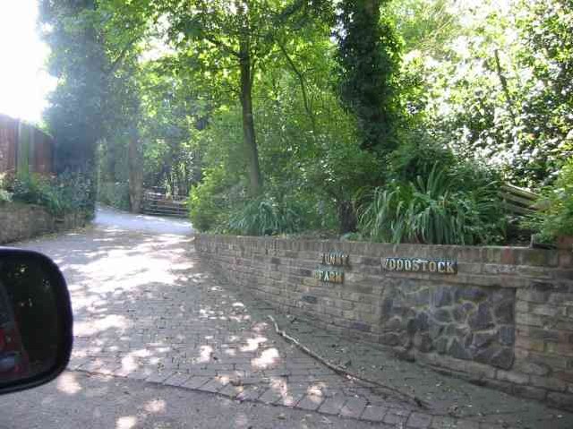
Image: © Jack Hill Taken: 11 Jul 2005
I presume that this farm is available for children that hands on stuff
Images are licensed for reuse under creativecommons.org/licenses/by-sa/2.0
Image Location


Leaflet Map data © OpenStreetMap
Latitude
51.723082
Longitude
-0.411785