Cookley Bungalow
Introduction
The photograph on this page of Cookley Bungalow by Geographer as part of the Geograph project.
The Geograph project started in 2005 with the aim of publishing, organising and preserving representative images for every square kilometre of Great Britain, Ireland and the Isle of Man.

There are currently over 7.5m images from over 14,400 individuals and you can help contribute to the project by visiting https://www.geograph.org.uk
Cookley Bungalow
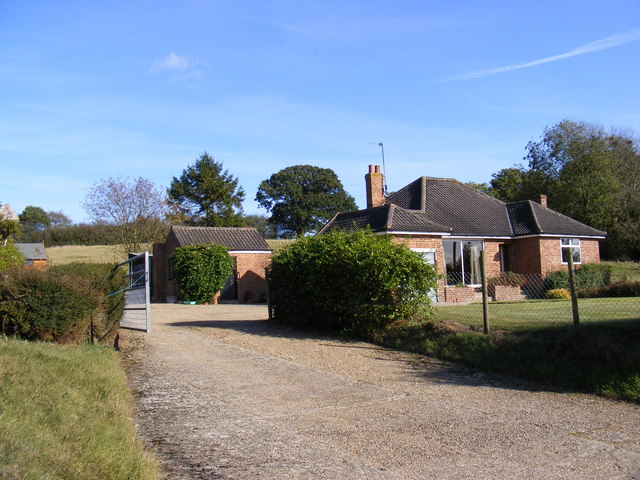
Image: © Geographer Taken: 20 Oct 2011
Off the road to Cookley near the footpath to Bush Hill Farm, Linstead Road & the B1123 Chediston Street
Images are licensed for reuse under creativecommons.org/licenses/by-sa/2.0
Image Location
Latitude
52.328871
Longitude
1.437479