Higher Contour Road, Kingswear
Introduction
The photograph on this page of Higher Contour Road, Kingswear by Tom Jolliffe as part of the Geograph project.
The Geograph project started in 2005 with the aim of publishing, organising and preserving representative images for every square kilometre of Great Britain, Ireland and the Isle of Man.

There are currently over 7.5m images from over 14,400 individuals and you can help contribute to the project by visiting https://www.geograph.org.uk
Higher Contour Road, Kingswear
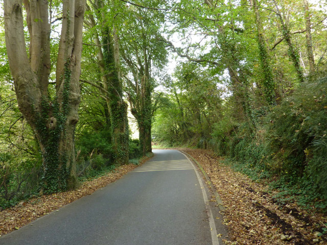
Image: © Tom Jolliffe Taken: 15 Oct 2011
The Higher Contour Road is in a one way system. Autumn is beginning to show its face, but there are plenty of leaves in the tree canopy over and beside the road.
Images are licensed for reuse under creativecommons.org/licenses/by-sa/2.0
Image Location
Latitude
50.352829
Longitude
-3.561478