Ryemeadows
Introduction
The photograph on this page of Ryemeadows by Jonathan Billinger as part of the Geograph project.
The Geograph project started in 2005 with the aim of publishing, organising and preserving representative images for every square kilometre of Great Britain, Ireland and the Isle of Man.

There are currently over 7.5m images from over 14,400 individuals and you can help contribute to the project by visiting https://www.geograph.org.uk
Ryemeadows
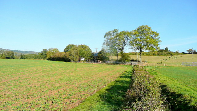
Image: © Jonathan Billinger Taken: 20 Oct 2011
Named on mapping, this property stands in splendid isolation by a brook north of Much Marcle.
Images are licensed for reuse under creativecommons.org/licenses/by-sa/2.0
Image Location
Latitude
52.004889
Longitude
-2.503415