Boyle's Farm Island
Introduction
The photograph on this page of Boyle's Farm Island by Eirian Evans as part of the Geograph project.
The Geograph project started in 2005 with the aim of publishing, organising and preserving representative images for every square kilometre of Great Britain, Ireland and the Isle of Man.

There are currently over 7.5m images from over 14,400 individuals and you can help contribute to the project by visiting https://www.geograph.org.uk
Boyle's Farm Island
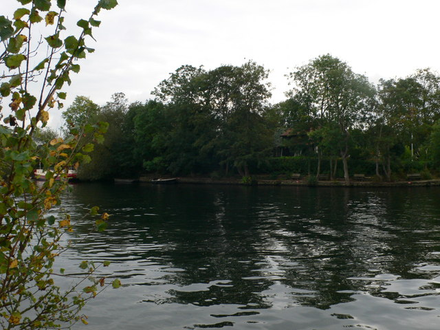
Image: © Eirian Evans Taken: 13 Oct 2011
Boyle Farm Island is the second largest of the three islands at Thames Ditton. It contains a single house, home to just one family. It is directly opposite the historic mansion of Boyle Farm. Whereas its larger partner, Thames Ditton Island, has at times been administratively part of Middlesex, Boyle Farm Island has always belonged to Surrey.
Images are licensed for reuse under creativecommons.org/licenses/by-sa/2.0
Image Location
Latitude
51.39274
Longitude
-0.329821