Tomintoul
Introduction
The photograph on this page of Tomintoul by Anne Burgess as part of the Geograph project.
The Geograph project started in 2005 with the aim of publishing, organising and preserving representative images for every square kilometre of Great Britain, Ireland and the Isle of Man.

There are currently over 7.5m images from over 14,400 individuals and you can help contribute to the project by visiting https://www.geograph.org.uk
Tomintoul
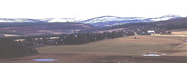
Image: © Anne Burgess Taken: Unknown
Tomintoul is one of the planned villages which were founded in Scotland between 1750 and 1850. In this case it was founded by the Duke of Gordon who wanted to promote weaving and laid out the village in a long street along the ridge, with a central square and lanes at right angles connecting with back streets parallel with the main street.
Images are licensed for reuse under creativecommons.org/licenses/by-sa/2.0
Image Location


Leaflet Map data © OpenStreetMap
Latitude
57.254927
Longitude
-3.385667