Well by the footpath
Introduction
The photograph on this page of Well by the footpath by Bill Nicholls as part of the Geograph project.
The Geograph project started in 2005 with the aim of publishing, organising and preserving representative images for every square kilometre of Great Britain, Ireland and the Isle of Man.

There are currently over 7.5m images from over 14,400 individuals and you can help contribute to the project by visiting https://www.geograph.org.uk
Well by the footpath
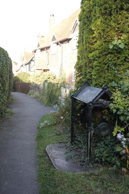
Image: © Bill Nicholls Taken: 16 Oct 2011
What looks like a cast iron cover and winder for a well on a footpath off Chapel Square East Hendred.
Images are licensed for reuse under creativecommons.org/licenses/by-sa/2.0
Image Location


Leaflet Map data © OpenStreetMap
Latitude
51.597072
Longitude
-1.336864