Shrewley
Introduction
The photograph on this page of Shrewley by Nigel Mykura as part of the Geograph project.
The Geograph project started in 2005 with the aim of publishing, organising and preserving representative images for every square kilometre of Great Britain, Ireland and the Isle of Man.

There are currently over 7.5m images from over 14,400 individuals and you can help contribute to the project by visiting https://www.geograph.org.uk
Shrewley
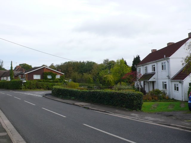
Image: © Nigel Mykura Taken: 9 Oct 2011
Shrewley is a typical strip development village with houses along the main road with long narrow strip gardens but very little residential housing behind that.
Images are licensed for reuse under creativecommons.org/licenses/by-sa/2.0
Image Location
Latitude
52.304483
Longitude
-1.6864