Trowlock Island
Introduction
The photograph on this page of Trowlock Island by Eirian Evans as part of the Geograph project.
The Geograph project started in 2005 with the aim of publishing, organising and preserving representative images for every square kilometre of Great Britain, Ireland and the Isle of Man.

There are currently over 7.5m images from over 14,400 individuals and you can help contribute to the project by visiting https://www.geograph.org.uk
Trowlock Island
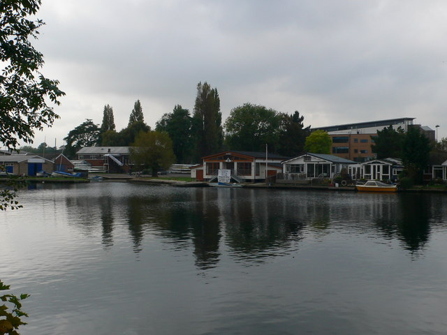
Image: © Eirian Evans Taken: 13 Oct 2011
Trowlock Island lies in the River Thames, just upstream of Teddington Lock and close to the Middlesex bank. It is home to 29 bungalows as well as the Royal Canoe Club's clubhouse. Beyond the bungalows you can see the roof of Teddington School.
Images are licensed for reuse under creativecommons.org/licenses/by-sa/2.0
Image Location
Latitude
51.424357
Longitude
-0.308531