Trenchard Avenue, Stafford
Introduction
The photograph on this page of Trenchard Avenue, Stafford by Stephen Pearce as part of the Geograph project.
The Geograph project started in 2005 with the aim of publishing, organising and preserving representative images for every square kilometre of Great Britain, Ireland and the Isle of Man.

There are currently over 7.5m images from over 14,400 individuals and you can help contribute to the project by visiting https://www.geograph.org.uk
Trenchard Avenue, Stafford
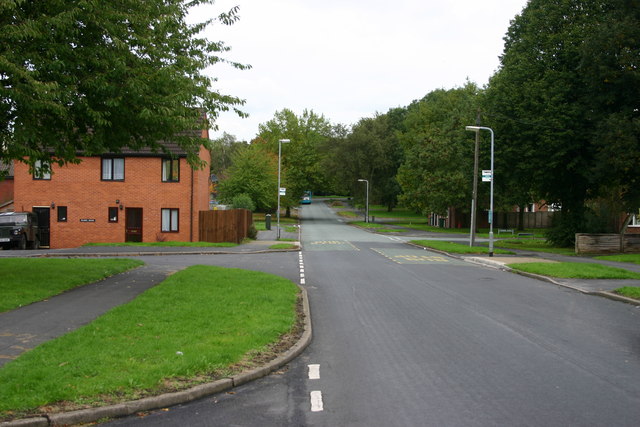
Image: © Stephen Pearce Taken: 23 Oct 2006
Trechard Ave looking downhill, out of town. The housing was originally built for RAF personnell but is now used by hospital staff, private and rented.
Images are licensed for reuse under creativecommons.org/licenses/by-sa/2.0
Image Location


Leaflet Map data © OpenStreetMap
Latitude
52.814669
Longitude
-2.099959