Radnor Gardens, Twickenham
Introduction
The photograph on this page of Radnor Gardens, Twickenham by Eirian Evans as part of the Geograph project.
The Geograph project started in 2005 with the aim of publishing, organising and preserving representative images for every square kilometre of Great Britain, Ireland and the Isle of Man.

There are currently over 7.5m images from over 14,400 individuals and you can help contribute to the project by visiting https://www.geograph.org.uk
Radnor Gardens, Twickenham
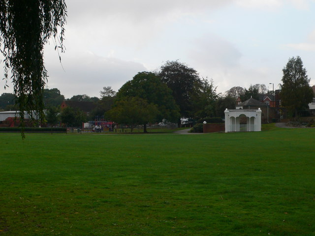
Image: © Eirian Evans Taken: 13 Oct 2011
Radnor Gardens were formed out of a number of riverside properties but take their name from Radnor House which, until its destruction by a bomb in September 1940, occupied some of the roadside frontage of the gardens. Radnor House was itself named after John Robartes, 4th Earl of Radnor who lived in the house from 1722 until his death in 1757
Images are licensed for reuse under creativecommons.org/licenses/by-sa/2.0
Image Location
Latitude
51.440164
Longitude
-0.332264