Terraced houses at Sparkford
Introduction
The photograph on this page of Terraced houses at Sparkford by Rod Allday as part of the Geograph project.
The Geograph project started in 2005 with the aim of publishing, organising and preserving representative images for every square kilometre of Great Britain, Ireland and the Isle of Man.

There are currently over 7.5m images from over 14,400 individuals and you can help contribute to the project by visiting https://www.geograph.org.uk
Terraced houses at Sparkford
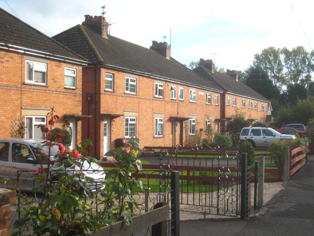
Image: © Rod Allday Taken: 16 Oct 2011
Originally on the main road between Sparkford and Yeovil, since the construction of the A303 Sparkford by-pass these are now on a small stretch of road behind a McDonald's service area.
Images are licensed for reuse under creativecommons.org/licenses/by-sa/2.0
Image Location
Latitude
51.029703
Longitude
-2.572286