Fields below Mudgley
Introduction
The photograph on this page of Fields below Mudgley by Ken Grainger as part of the Geograph project.
The Geograph project started in 2005 with the aim of publishing, organising and preserving representative images for every square kilometre of Great Britain, Ireland and the Isle of Man.

There are currently over 7.5m images from over 14,400 individuals and you can help contribute to the project by visiting https://www.geograph.org.uk
Fields below Mudgley
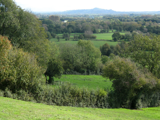
Image: © Ken Grainger Taken: 16 Oct 2011
Glastonbury Tor is just visible on the horizon
Images are licensed for reuse under creativecommons.org/licenses/by-sa/2.0
Image Location
Latitude
51.207731
Longitude
-2.778966