The level crossing at Kilkerran
Introduction
The photograph on this page of The level crossing at Kilkerran by Humphrey Bolton as part of the Geograph project.
The Geograph project started in 2005 with the aim of publishing, organising and preserving representative images for every square kilometre of Great Britain, Ireland and the Isle of Man.

There are currently over 7.5m images from over 14,400 individuals and you can help contribute to the project by visiting https://www.geograph.org.uk
The level crossing at Kilkerran
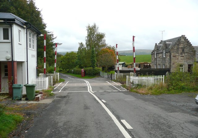
Image: © Humphrey Bolton Taken: 23 Sep 2011
There was a railway station here, probably the building with the crow-stepped gable. This crossing is on a link road, easily missed, between the two alternative roads from Maybole to Dailly and Girvan.
Images are licensed for reuse under creativecommons.org/licenses/by-sa/2.0
Image Location
Latitude
55.303794
Longitude
-4.68405