Shale cliff erosion
Introduction
The photograph on this page of Shale cliff erosion by Colin Grice as part of the Geograph project.
The Geograph project started in 2005 with the aim of publishing, organising and preserving representative images for every square kilometre of Great Britain, Ireland and the Isle of Man.

There are currently over 7.5m images from over 14,400 individuals and you can help contribute to the project by visiting https://www.geograph.org.uk
Shale cliff erosion
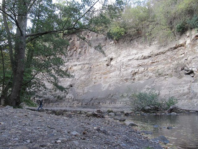
Image: © Colin Grice Taken: 17 Oct 2011
The Murk Esk is making worryingly rapid progress towards the roadway just behind the bushes on the top of this drop.
Images are licensed for reuse under creativecommons.org/licenses/by-sa/2.0
Image Location


Leaflet Map data © OpenStreetMap
Latitude
54.435179
Longitude
-0.721757