The heathland of Ashdown Forest
Introduction
The photograph on this page of The heathland of Ashdown Forest by Marathon as part of the Geograph project.
The Geograph project started in 2005 with the aim of publishing, organising and preserving representative images for every square kilometre of Great Britain, Ireland and the Isle of Man.

There are currently over 7.5m images from over 14,400 individuals and you can help contribute to the project by visiting https://www.geograph.org.uk
The heathland of Ashdown Forest
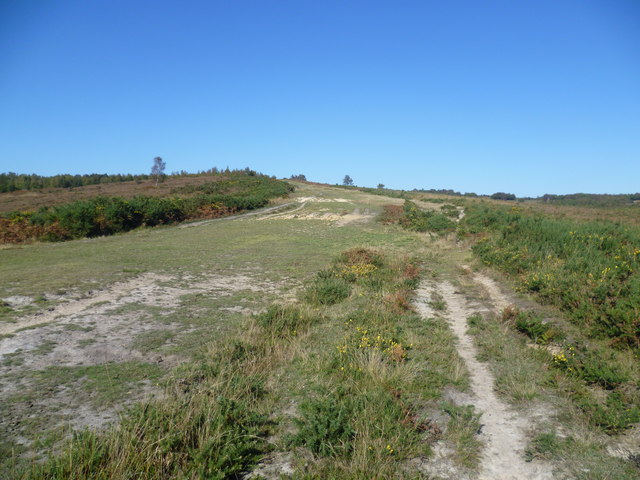
Image: © Marathon Taken: 15 Oct 2011
Ashdown Forest is a former medieval hunting forest, and is the highest ridge of the High Weald. At ten square miles it is the largest open access area in the South East. Ashdown Forest was purchased by East Sussex County Council from the De La Warr family in 1988. It is now managed by a Board of Conservators. Nearly two thirds of it is heathland, areas of which can be seen on both sides of the wide path here which acts as a firebreak. The sandy nature of the soil is also evident. The path leads up the west side of the Misbourne Valley to Stonehill car park.
Images are licensed for reuse under creativecommons.org/licenses/by-sa/2.0
Image Location


Leaflet Map data © OpenStreetMap
Latitude
51.030849
Longitude
0.075579