Public footpath crossing field at Hilltop
Introduction
The photograph on this page of Public footpath crossing field at Hilltop by David Smith as part of the Geograph project.
The Geograph project started in 2005 with the aim of publishing, organising and preserving representative images for every square kilometre of Great Britain, Ireland and the Isle of Man.

There are currently over 7.5m images from over 14,400 individuals and you can help contribute to the project by visiting https://www.geograph.org.uk
Public footpath crossing field at Hilltop
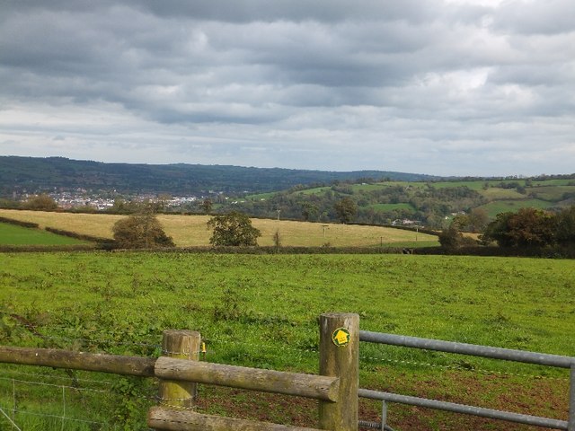
Image: © David Smith Taken: 17 Oct 2011
This footpath does not appear to be used regularly; beyond the gate, a single strand fence crosses the "path" which leads to a stile in the hedge (about 20% into the picture from the left). Tiverton is in the valley beyond.
Images are licensed for reuse under creativecommons.org/licenses/by-sa/2.0
Image Location


Leaflet Map data © OpenStreetMap
Latitude
50.881393
Longitude
-3.512413