Footbridge over the M18, Hatchell Wood
Introduction
The photograph on this page of Footbridge over the M18, Hatchell Wood by David Dixon as part of the Geograph project.
The Geograph project started in 2005 with the aim of publishing, organising and preserving representative images for every square kilometre of Great Britain, Ireland and the Isle of Man.

There are currently over 7.5m images from over 14,400 individuals and you can help contribute to the project by visiting https://www.geograph.org.uk
Footbridge over the M18, Hatchell Wood
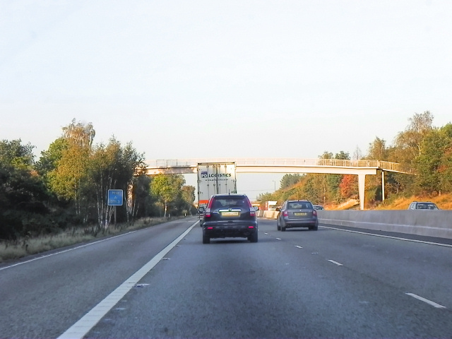
Image: © David Dixon Taken: 14 Oct 2011
The bridge carries the footpath between Ryton Way, on the west side of the M18, to Muirfield Avenue, on the east side, at the northern end of Hatchell Wood
Images are licensed for reuse under creativecommons.org/licenses/by-sa/2.0
Image Location
Latitude
53.499112
Longitude
-1.05898