Helmsdale harbour in 1964
Introduction
The photograph on this page of Helmsdale harbour in 1964 by John Baker as part of the Geograph project.
The Geograph project started in 2005 with the aim of publishing, organising and preserving representative images for every square kilometre of Great Britain, Ireland and the Isle of Man.

There are currently over 7.5m images from over 14,400 individuals and you can help contribute to the project by visiting https://www.geograph.org.uk
Helmsdale harbour in 1964
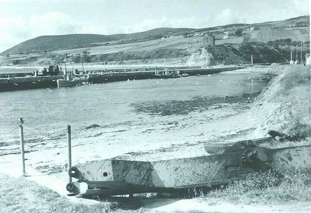
Image: © John Baker Taken: Unknown
Looking across the harbour to the fishing boats tied up along the breakwater and the castle perched on the hillside above
Images are licensed for reuse under creativecommons.org/licenses/by-sa/2.0
Image Location
Latitude
58.114836
Longitude
-3.648042