Old Belfast-Dublin road near Banbridge (2)
Introduction
The photograph on this page of Old Belfast-Dublin road near Banbridge (2) by Albert Bridge as part of the Geograph project.
The Geograph project started in 2005 with the aim of publishing, organising and preserving representative images for every square kilometre of Great Britain, Ireland and the Isle of Man.

There are currently over 7.5m images from over 14,400 individuals and you can help contribute to the project by visiting https://www.geograph.org.uk
Old Belfast-Dublin road near Banbridge (2)
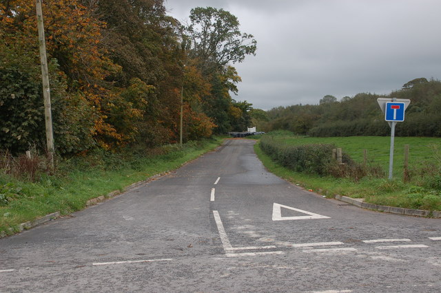
Image: © Albert Bridge Taken: 22 Oct 2006
See Image This is a section of the old road at Tullyheenan at the corner of Skelton’s Road. The present road is behind the hedge on the right. The trees on the left are what remains of Brown’s Planting which was cleared to make way for the dual carriageway. This is the view towards Belfast.
Images are licensed for reuse under creativecommons.org/licenses/by-sa/2.0
Image Location


Leaflet Map data © OpenStreetMap
Latitude
54.37184
Longitude
-6.208132