Part of the carriage drive in Southwark Park
Introduction
The photograph on this page of Part of the carriage drive in Southwark Park by Marathon as part of the Geograph project.
The Geograph project started in 2005 with the aim of publishing, organising and preserving representative images for every square kilometre of Great Britain, Ireland and the Isle of Man.

There are currently over 7.5m images from over 14,400 individuals and you can help contribute to the project by visiting https://www.geograph.org.uk
Part of the carriage drive in Southwark Park
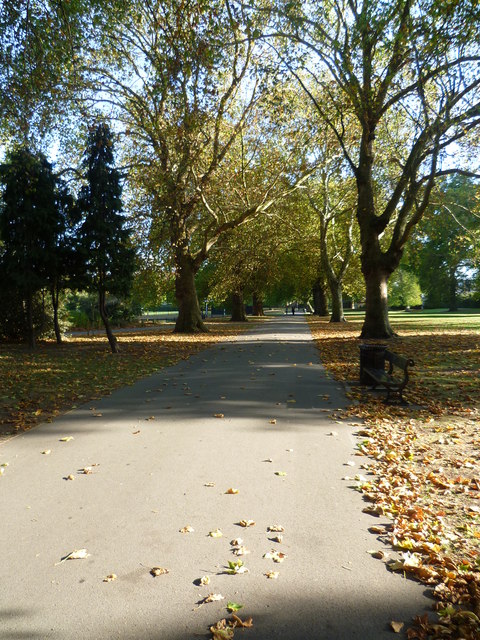
Image: © Marathon Taken: 14 Oct 2011
Southwark Park was opened to the public on 19th June 1869. Its design was based on an original map produced by the Superintendent Architect Mr Vulliamy, and Alexander Mckenzie. The original intention was for part of the park to be used as building plots but the Vestry of Bermondsey opposed this. In 1872, the carriage drive was reduced in width when the building plans were eventually shelved. This path was part of the original downsized carriage drive.
Images are licensed for reuse under creativecommons.org/licenses/by-sa/2.0
Image Location
Latitude
51.492726
Longitude
-0.055058