The Lisnafiffy Road near Banbridge
Introduction
The photograph on this page of The Lisnafiffy Road near Banbridge by Albert Bridge as part of the Geograph project.
The Geograph project started in 2005 with the aim of publishing, organising and preserving representative images for every square kilometre of Great Britain, Ireland and the Isle of Man.

There are currently over 7.5m images from over 14,400 individuals and you can help contribute to the project by visiting https://www.geograph.org.uk
The Lisnafiffy Road near Banbridge
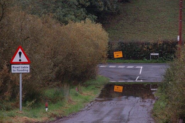
Image: © Albert Bridge Taken: 22 Oct 2006
The Lisnafiffy Road runs towards the Blue Road and, ultimately, to Ballyvarley cross-roads on the Banbridge-Scarva Road. This is the view towards the Blue Road from near the corner with the Moss Bann Road. In Drumlin country dips liable to flooding are to be expected. The diversion sign refers to the closure of the Moss Bann Road where a gas pipeline is being constructed.
Images are licensed for reuse under creativecommons.org/licenses/by-sa/2.0
Image Location
Latitude
54.355432
Longitude
-6.316524