Pots at St Dunstan's
Introduction
The photograph on this page of Pots at St Dunstan's by Stephen McKay as part of the Geograph project.
The Geograph project started in 2005 with the aim of publishing, organising and preserving representative images for every square kilometre of Great Britain, Ireland and the Isle of Man.

There are currently over 7.5m images from over 14,400 individuals and you can help contribute to the project by visiting https://www.geograph.org.uk
Pots at St Dunstan's
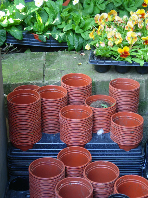
Image: © Stephen McKay Taken: 14 Oct 2011
After severe damage in the blitz, St Dunstan's church has become a public garden - an oasis in the heart of the City - and here is evidence of the gardener's work.
Images are licensed for reuse under creativecommons.org/licenses/by-sa/2.0
Image Location


Leaflet Map data © OpenStreetMap
Latitude
51.509456
Longitude
-0.082592