Brampton Road
Introduction
The photograph on this page of Brampton Road by Ian Capper as part of the Geograph project.
The Geograph project started in 2005 with the aim of publishing, organising and preserving representative images for every square kilometre of Great Britain, Ireland and the Isle of Man.

There are currently over 7.5m images from over 14,400 individuals and you can help contribute to the project by visiting https://www.geograph.org.uk
Brampton Road
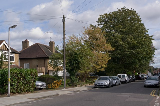
Image: © Ian Capper Taken: 4 Oct 2011
A road of contrasts in the Fleetville area of St Albans. The south side (off to the right of the photo) was developed in the early 20th century with fairly high density Edwardian villas. The north side, seen here, was developed between the wars with larger detached houses.
Images are licensed for reuse under creativecommons.org/licenses/by-sa/2.0
Image Location
Latitude
51.754534
Longitude
-0.317348