Hall Place Gardens
Introduction
The photograph on this page of Hall Place Gardens by Ian Capper as part of the Geograph project.
The Geograph project started in 2005 with the aim of publishing, organising and preserving representative images for every square kilometre of Great Britain, Ireland and the Isle of Man.

There are currently over 7.5m images from over 14,400 individuals and you can help contribute to the project by visiting https://www.geograph.org.uk
Hall Place Gardens
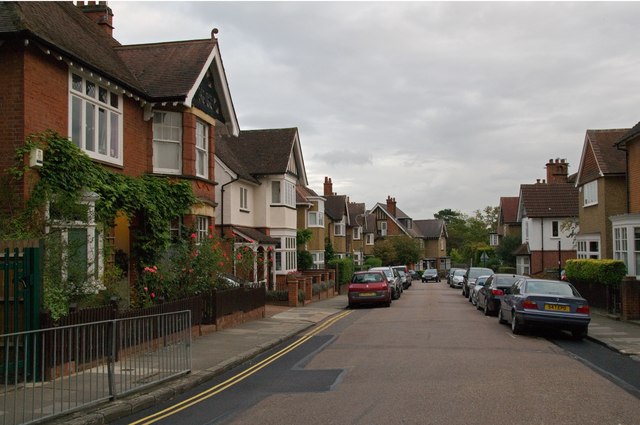
Image: © Ian Capper Taken: 22 Sep 2011
Part of the estate planned by local architect, Harry Steer, in 1907 on the site of Townsend Farm and Hall Place, the latter an important mid 15th century building in which Henry VI was held after the First Battle of St Albans in 1455 which had been demolished in 1907. Most of the buildings are locally listed.
Images are licensed for reuse under creativecommons.org/licenses/by-sa/2.0
Image Location
Latitude
51.755189
Longitude
-0.331769