Old Lyndale School
Introduction
The photograph on this page of Old Lyndale School by Ian Capper as part of the Geograph project.
The Geograph project started in 2005 with the aim of publishing, organising and preserving representative images for every square kilometre of Great Britain, Ireland and the Isle of Man.

There are currently over 7.5m images from over 14,400 individuals and you can help contribute to the project by visiting https://www.geograph.org.uk
Old Lyndale School
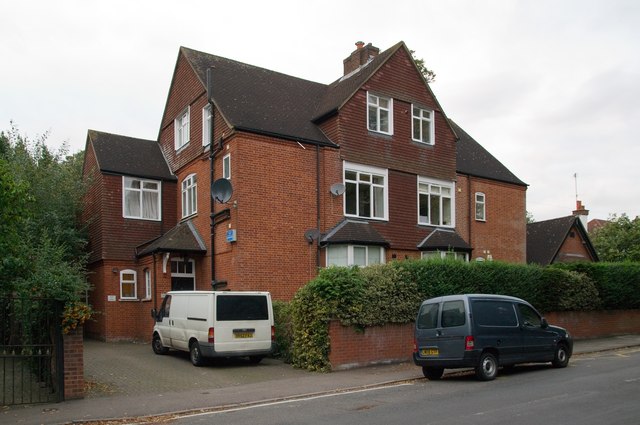
Image: © Ian Capper Taken: 22 Sep 2011
A large Victorian house which housed a private school from 1929 to 1993. It has now been converted to flats. Locally listed.
Images are licensed for reuse under creativecommons.org/licenses/by-sa/2.0
Image Location
Latitude
51.755227
Longitude
-0.33