Blacksmiths Arms
Introduction
The photograph on this page of Blacksmiths Arms by Ian Capper as part of the Geograph project.
The Geograph project started in 2005 with the aim of publishing, organising and preserving representative images for every square kilometre of Great Britain, Ireland and the Isle of Man.

There are currently over 7.5m images from over 14,400 individuals and you can help contribute to the project by visiting https://www.geograph.org.uk
Blacksmiths Arms
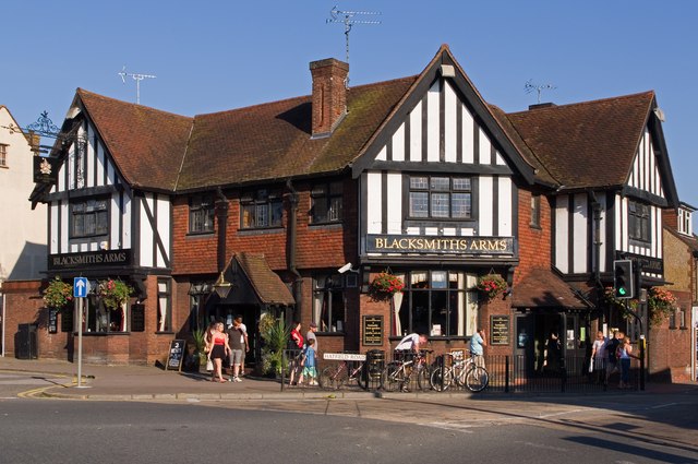
Image: © Ian Capper Taken: 2 Oct 2011
Although older in appearance, this pub is a 20th century building dating from 1929, replacing a range of cottages on the site.
Images are licensed for reuse under creativecommons.org/licenses/by-sa/2.0
Image Location
Latitude
51.7546
Longitude
-0.335862