Gibbons Bush Green
Introduction
The photograph on this page of Gibbons Bush Green by Roger Jones as part of the Geograph project.
The Geograph project started in 2005 with the aim of publishing, organising and preserving representative images for every square kilometre of Great Britain, Ireland and the Isle of Man.

There are currently over 7.5m images from over 14,400 individuals and you can help contribute to the project by visiting https://www.geograph.org.uk
Gibbons Bush Green
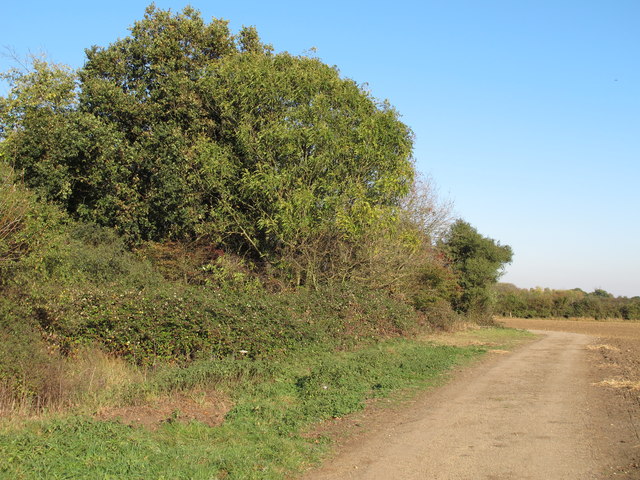
Image: © Roger Jones Taken: 15 Oct 2011
Gibbons Bush Green (on the left of the picture, bounded by the track) adjoins Epping Long Green. Although now scrub and secondary woodland, in the past the Green would have been a tye used for grazing. Compare to Image
Images are licensed for reuse under creativecommons.org/licenses/by-sa/2.0
Image Location
Latitude
51.733103
Longitude
0.086019