Tower blocks near Lewisham
Introduction
The photograph on this page of Tower blocks near Lewisham by Stephen Craven as part of the Geograph project.
The Geograph project started in 2005 with the aim of publishing, organising and preserving representative images for every square kilometre of Great Britain, Ireland and the Isle of Man.

There are currently over 7.5m images from over 14,400 individuals and you can help contribute to the project by visiting https://www.geograph.org.uk
Tower blocks near Lewisham
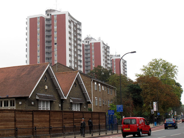
Image: © Stephen Craven Taken: 13 Oct 2011
The three blocks are on the east side of Lewisham High Street opposite the hospital. Their names from north to south (left to right in this photo) are Malling House, Bredgar House and Kemsley House.
Images are licensed for reuse under creativecommons.org/licenses/by-sa/2.0
Image Location
Latitude
51.453396
Longitude
-0.015566