Road towards a watershed in the Pennines
Introduction
The photograph on this page of Road towards a watershed in the Pennines by Bill Boaden as part of the Geograph project.
The Geograph project started in 2005 with the aim of publishing, organising and preserving representative images for every square kilometre of Great Britain, Ireland and the Isle of Man.

There are currently over 7.5m images from over 14,400 individuals and you can help contribute to the project by visiting https://www.geograph.org.uk
Road towards a watershed in the Pennines
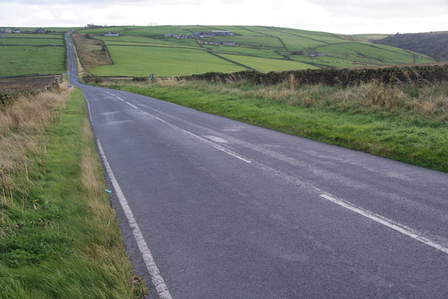
Image: © Bill Boaden Taken: 7 Oct 2011
This is the high-level Skipton to Colne road. The dip ahead is a col between eastward and westward flowing rivers, with Lothersdale Beck to the left and Harden Beck to the right.
Images are licensed for reuse under creativecommons.org/licenses/by-sa/2.0
Image Location


Leaflet Map data © OpenStreetMap
Latitude
53.900398
Longitude
-2.108779