Old A419
Introduction
The photograph on this page of Old A419 by Nigel Mykura as part of the Geograph project.
The Geograph project started in 2005 with the aim of publishing, organising and preserving representative images for every square kilometre of Great Britain, Ireland and the Isle of Man.

There are currently over 7.5m images from over 14,400 individuals and you can help contribute to the project by visiting https://www.geograph.org.uk
Old A419
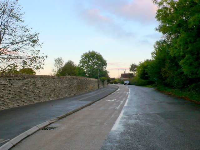
Image: © Nigel Mykura Taken: 7 Oct 2011
This shows the quiet road with bicycle lane running along the wall belonging to Cirencester College. This used to be the A419 but this now passes further to the south where there is a large roundabout and this just leads to one of the college entrances.
Images are licensed for reuse under creativecommons.org/licenses/by-sa/2.0
Image Location
Latitude
51.710793
Longitude
-1.983164