Parish Paths Partnership
Introduction
The photograph on this page of Parish Paths Partnership by Peter Barr as part of the Geograph project.
The Geograph project started in 2005 with the aim of publishing, organising and preserving representative images for every square kilometre of Great Britain, Ireland and the Isle of Man.

There are currently over 7.5m images from over 14,400 individuals and you can help contribute to the project by visiting https://www.geograph.org.uk
Parish Paths Partnership
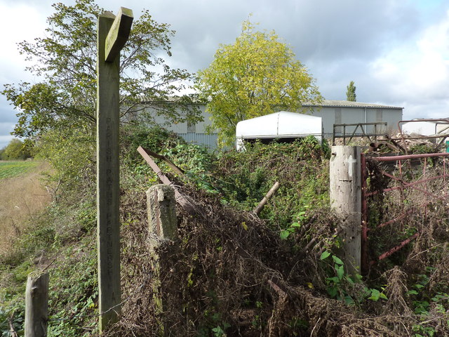
Image: © Peter Barr Taken: 13 Oct 2011
A footpath signpost in Screveton; the County Council's scheme, "the Parish Paths Partnership Scheme is funded and managed by County Council and aims to work with local communities to help them improve and promote their own rights of way network." http://www.nottinghamshire.gov.uk/home/environment/countryside/rightsofway/parishpaths.htm
Images are licensed for reuse under creativecommons.org/licenses/by-sa/2.0
Image Location
Latitude
52.985153
Longitude
-0.906031