Entering Newton under Roseberry
Introduction
The photograph on this page of Entering Newton under Roseberry by Robin Webster as part of the Geograph project.
The Geograph project started in 2005 with the aim of publishing, organising and preserving representative images for every square kilometre of Great Britain, Ireland and the Isle of Man.

There are currently over 7.5m images from over 14,400 individuals and you can help contribute to the project by visiting https://www.geograph.org.uk
Entering Newton under Roseberry
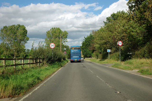
Image: © Robin Webster Taken: 7 Oct 2011
A very small village, but a largish car park on the right for walkers up and around Roseberry Topping.
Images are licensed for reuse under creativecommons.org/licenses/by-sa/2.0
Image Location
Latitude
54.507674
Longitude
-1.1209