Former Signal box and Crossing
Introduction
The photograph on this page of Former Signal box and Crossing by roger geach as part of the Geograph project.
The Geograph project started in 2005 with the aim of publishing, organising and preserving representative images for every square kilometre of Great Britain, Ireland and the Isle of Man.

There are currently over 7.5m images from over 14,400 individuals and you can help contribute to the project by visiting https://www.geograph.org.uk
Former Signal box and Crossing
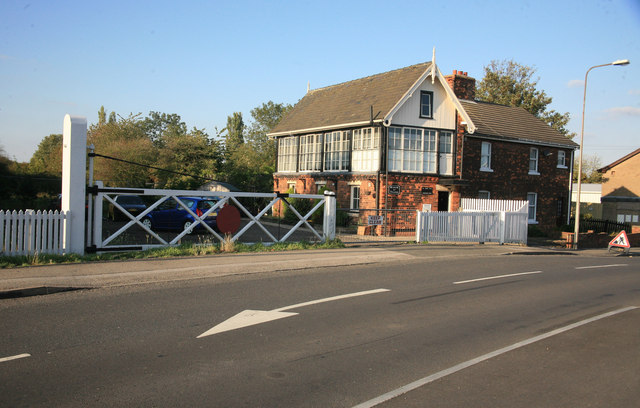
Image: © roger geach Taken: 14 Oct 2011
Despite the railway shutting way back in 1980 for good the level crossing gate and Signal Box remain showing that Louth once had a railway.
Images are licensed for reuse under creativecommons.org/licenses/by-sa/2.0
Image Location


Leaflet Map data © OpenStreetMap
Latitude
53.373421
Longitude
0.001001