Wheal Vor
Introduction
The photograph on this page of Wheal Vor by Elizabeth Scott as part of the Geograph project.
The Geograph project started in 2005 with the aim of publishing, organising and preserving representative images for every square kilometre of Great Britain, Ireland and the Isle of Man.

There are currently over 7.5m images from over 14,400 individuals and you can help contribute to the project by visiting https://www.geograph.org.uk
Wheal Vor
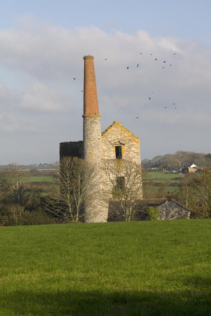
Image: © Elizabeth Scott Taken: 14 Oct 2011
Wheal Vor's heyday was from 1812 to 1848. It was one of Cornwall's biggest and richest tin mines and employed around 1,200 people (men, women and children).
Images are licensed for reuse under creativecommons.org/licenses/by-sa/2.0
Image Location
Latitude
50.125013
Longitude
-5.325536