The Village
Introduction
The photograph on this page of The Village by Richard Webb as part of the Geograph project.
The Geograph project started in 2005 with the aim of publishing, organising and preserving representative images for every square kilometre of Great Britain, Ireland and the Isle of Man.

There are currently over 7.5m images from over 14,400 individuals and you can help contribute to the project by visiting https://www.geograph.org.uk
The Village
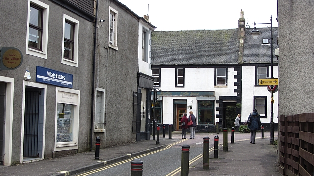
Image: © Richard Webb Taken: 14 Oct 2011
The Dunbartonshire village of Cumbernauld was situated on the junction of the A73 and A80, but otherwise in a rural setting. It is now an old bit lost just off the M80 motorway deep inside the large new town which has taken its name.
Images are licensed for reuse under creativecommons.org/licenses/by-sa/2.0
Image Location
Latitude
55.962864
Longitude
-3.975311