View north-west from the Jubilee Path above Penmaenmawr
Introduction
The photograph on this page of View north-west from the Jubilee Path above Penmaenmawr by Jeremy Bolwell as part of the Geograph project.
The Geograph project started in 2005 with the aim of publishing, organising and preserving representative images for every square kilometre of Great Britain, Ireland and the Isle of Man.

There are currently over 7.5m images from over 14,400 individuals and you can help contribute to the project by visiting https://www.geograph.org.uk
View north-west from the Jubilee Path above Penmaenmawr
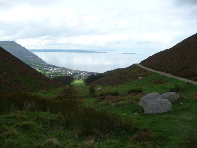
Image: © Jeremy Bolwell Taken: 13 Oct 2011
The path runs around the domed crown of Foel Lus and this aspect offers great views down the steep acclivity to Penmaenmawr and even further towards Anglesey and Puffin Island / Ynys Seiriol.
Images are licensed for reuse under creativecommons.org/licenses/by-sa/2.0
Image Location
Latitude
53.263813
Longitude
-3.902685