Gratnar Farm
Introduction
The photograph on this page of Gratnar Farm by Derek Harper as part of the Geograph project.
The Geograph project started in 2005 with the aim of publishing, organising and preserving representative images for every square kilometre of Great Britain, Ireland and the Isle of Man.

There are currently over 7.5m images from over 14,400 individuals and you can help contribute to the project by visiting https://www.geograph.org.uk
Gratnar Farm
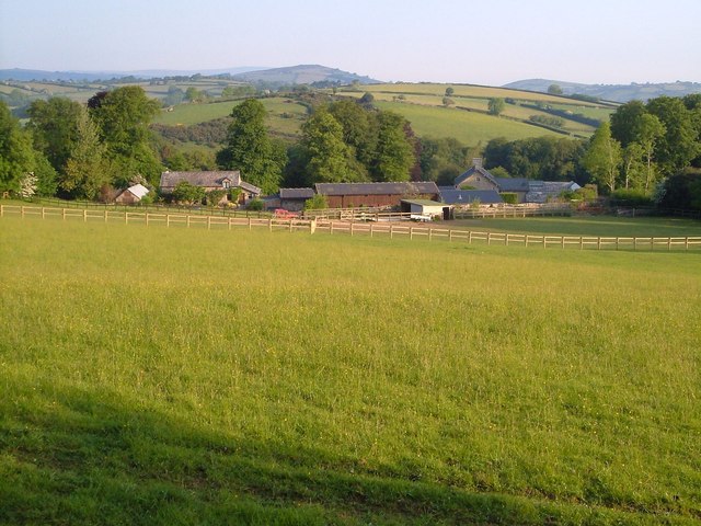
Image: © Derek Harper Taken: 7 Jun 2006
Another view of the farm shown in Image, on the northwestern slopes of Easdon Down.
Images are licensed for reuse under creativecommons.org/licenses/by-sa/2.0
Image Location
Latitude
50.636198
Longitude
-3.811401